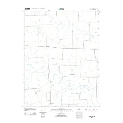
2012 Map of Woodlawn
USGS Topo · Published 2012About this map
The Middle Fork Salt River meanders across this rural section of Monroe County, forming a complex drainage network that includes Mud Creek, Flat Creek, and Bear Branch. The small community of Woodlawn serves as a central point in an area defined by its agricultural grid and numerous watercourses. Genealogists and local historians will find the locations of the Atterberry Cemetery and Milner Cemetery particularly useful for tracing family roots in this part of Missouri. The landscape is further shaped by the northern reaches of Otter Creek and its tributary, Little Otter Creek. Infrastructure is primarily limited to county roads and the Qualles Lake Dam, reflecting the area's enduring rural character into the early 21st century.
Find a feature on this map
79 named features on this map. Tap any name to fly to it.
Don’t see what you’re looking for? This feature index may not catch every label — zoom into the map to look around manually.
Map Details
Editions of this 2012 Woodlawn Map
This is the sole edition of this map. No revisions or reprints were ever made.
Other maps of this area

1890 · Moberly
USGS Topo · 1:125,000

1908 · Macon
USGS Topo · 1:62,500

1910 · Macon
USGS Topo · 1:62,500

1952 · Middle Grove
USGS Topo · 1:24,000

1953 · Moberly
USGS Topo · 1:250,000

1954 · Moberly
USGS Topo · 1:250,000

1957 · Moberly
USGS Topo · 1:250,000

1958 · Lentner
USGS Topo · 1:24,000

1959 · Shelbina
USGS Topo · 1:24,000
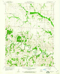
1959 · Woodlawn
USGS Topo · 1:24,000