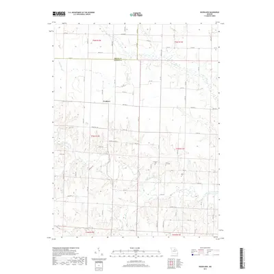
2017 Map of Woodlawn
USGS Topo · Published 2017About this map
Woodlawn serves as the central focal point of this agricultural landscape along the Shelby Co Monroe Co line. The terrain is deeply defined by the drainage network of the Middle Fork Salt River, where numerous small tributaries like Otter Cr, Flat Cr, and Bear Br carve into the northern Missouri plains. This 2017 survey reflects a rural settlement pattern where family and community history is preserved in small, scattered burial grounds. These sites, including Atterberry Cem, Forest Grove Cem, and Millner Cem, are situated on higher ground overlooking the river valleys, marking generations of local residents. The road network, comprising state routes such as State Hwy J and State Hwy A alongside numerous county roads, follows the township and range sections that have organized this territory since the 19th century.
Find a feature on this map
72 named features on this map. Tap any name to fly to it.
Don’t see what you’re looking for? This feature index may not catch every label — zoom into the map to look around manually.
Map Details
Editions of this 2017 Woodlawn Map
This is the sole edition of this map. No revisions or reprints were ever made.
Other maps of this area

1890 · Moberly
USGS Topo · 1:125,000

1908 · Macon
USGS Topo · 1:62,500

1910 · Macon
USGS Topo · 1:62,500

1952 · Middle Grove
USGS Topo · 1:24,000

1953 · Moberly
USGS Topo · 1:250,000

1954 · Moberly
USGS Topo · 1:250,000

1957 · Moberly
USGS Topo · 1:250,000

1958 · Lentner
USGS Topo · 1:24,000

1959 · Shelbina
USGS Topo · 1:24,000
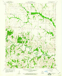
1959 · Woodlawn
USGS Topo · 1:24,000