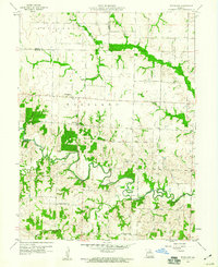
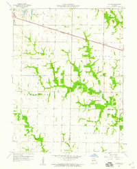
1959 Map of Woodlawn
USGS Topo · Published 1960About this map
The Middle Fork Salt River meanders across the central landscape of this Monroe County region, defining a topography of intricate stream networks and wooded draws. The small community of Woodlawn serves as the focal point for this rural area, which is subdivided into townships including Jefferson, Woodlawn, Clay, and Marion. The survey documents a late 1950s agricultural landscape where rural life revolved around local landmarks like Oak Grove Ch, Pleasant Green Ch, and Mt Pleasant Ch.
Find a feature on this map
22 named features on this map. Tap any name to fly to it.
Don’t see what you’re looking for? This feature index may not catch every label — zoom into the map to look around manually.
Map Details
Editions of this 1959 Woodlawn Map
This is the sole edition of this map. No revisions or reprints were ever made.
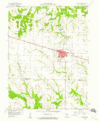
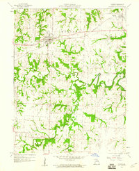
Other maps of this area

1890 · Moberly
USGS Topo · 1:125,000
1908 · Macon
USGS Topo · 1:62,500
1910 · Macon
USGS Topo · 1:62,500
1952 · Middle Grove
USGS Topo · 1:24,000

1953 · Moberly
USGS Topo · 1:250,000

1954 · Moberly
USGS Topo · 1:250,000

1957 · Moberly
USGS Topo · 1:250,000
1958 · Lentner
USGS Topo · 1:24,000
1959 · Shelbina
USGS Topo · 1:24,000
1959 · Madison
USGS Topo · 1:24,000