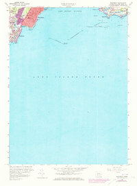
1960 Map of Woodmont
USGS Topo · Published 1973About this map
The coastal transition of the Connecticut shoreline is captured during a period of significant post-war development, featuring the dense residential grids of West Haven and the borough of Woodmont. Along the western edge of New Haven Harbor, the map documents established local landmarks like the legendary Savin Rock amusement area and the sprawling Prospect Beach. Further east, Lighthouse Point Park anchors the harbor entrance, protected by massive maritime infrastructure including the Luddington Rock Breakwater and West Breakwater.
Find a feature on this map
52 named features on this map. Tap any name to fly to it.
Don’t see what you’re looking for? This feature index may not catch every label — zoom into the map to look around manually.
Map Details
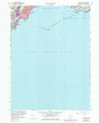
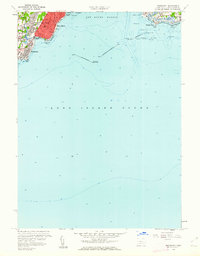
Editions of this 1960 Woodmont Map
3 editions found
Other maps of this area

1889 · Derby
USGS Topo · 1:62,500

1891 · Bridgeport
USGS Topo · 1:62,500

1891 · Derby
USGS Topo · 1:62,500

1892 · New Haven
USGS Topo · 1:62,500

1893 · Bridgeport
USGS Topo · 1:62,500

1893 · Derby
USGS Topo · 1:62,500

1920 · Bridgeport
USGS Topo · 1:62,500

1921 · New Haven
USGS Topo · 1:62,500

1943 · New Haven
USGS Topo · 1:31,680

1947 · Hartford
USGS Topo · 1:250,000