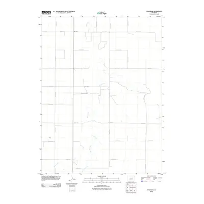
2010 Map of Woodrow
USGS Topo · Published 2010About this map
Woodrow stands as the primary settlement in this corner of the eastern Colorado plains, where a strictly defined grid of county roads organizes the landscape for agriculture and resource extraction. The area's hydrology is defined by the winding paths of Beaver Creek, Sand Creek, and Plum Bush Creek, which cut across the geometric regularity of the section lines. This 2010 survey highlights the intersection of traditional prairie land use and modern industry, most notably at the Kejr Oil Field in the southwestern quadrant. While the road network, including County Hwy-31 and numerous numbered routes like County Rd-29, facilitates transit across the open terrain, the map also captures the seasonal nature of the local drainage systems that shape the local topography.
Find a feature on this map
20 named features on this map. Tap any name to fly to it.
Don’t see what you’re looking for? This feature index may not catch every label — zoom into the map to look around manually.
Map Details
Editions of this 2010 Woodrow Map
This is the sole edition of this map. No revisions or reprints were ever made.
Other maps of this area

1954 · Limon
USGS Topo · 1:250,000

1954 · Sterling
USGS Topo · 1:250,000

1957 · Limon
USGS Topo · 1:250,000

1958 · Limon
USGS Topo · 1:250,000

1958 · Sterling
USGS Topo · 1:250,000

1965 · Gary
USGS Topo · 1:24,000

1965 · Huey Ranch
USGS Topo · 1:24,000

1973 · Woodrow
USGS Topo · 1:24,000

1973 · Antelope Creek West
USGS Topo · 1:24,000

1973 · Dry Gulch
USGS Topo · 1:24,000