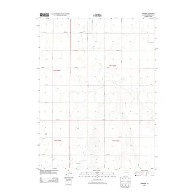
2013 Map of Woodrow
USGS Topo · Published 2013About this map
Woodrow sits at the junction of Co-71 and CO Road 29, serving as a focal point for the agricultural and energy landscape of Washington County. The terrain is defined by the intermittent drainage patterns of Beaver Cr, Sand Cr, and Plum Bush Cr, which carve shallow paths across the high plains. The intersection of these natural watercourses with the rigid grid of the Public Land Survey System reveals a landscape of large-scale land management, where section lines dictate the placement of county roads like CO Road 27 and CO Road 24. Evidence of the region's natural resource economy is found to the south at the Kejr Oil Field, highlighting the industrial side of this otherwise rural expanse. This 2013 survey provides a detailed look at the infrastructure supporting this corner of Colorado, from state highways to the local connector roads that bind the ranching and energy sectors together.
Find a feature on this map
28 named features on this map. Tap any name to fly to it.
Don’t see what you’re looking for? This feature index may not catch every label — zoom into the map to look around manually.
Map Details
Editions of this 2013 Woodrow Map
This is the sole edition of this map. No revisions or reprints were ever made.
Other maps of this area

1954 · Limon
USGS Topo · 1:250,000

1954 · Sterling
USGS Topo · 1:250,000

1957 · Limon
USGS Topo · 1:250,000

1958 · Limon
USGS Topo · 1:250,000

1958 · Sterling
USGS Topo · 1:250,000

1965 · Gary
USGS Topo · 1:24,000

1965 · Huey Ranch
USGS Topo · 1:24,000

1973 · Woodrow
USGS Topo · 1:24,000

1973 · Antelope Creek West
USGS Topo · 1:24,000

1973 · Dry Gulch
USGS Topo · 1:24,000