2024 Map of Woods Hole
USGS Topo · Published 2024About this map
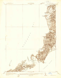
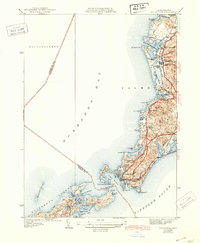
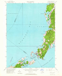
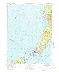
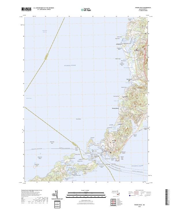
Woods Hole serves as the terminal hub for a complex network of maritime transit, anchoring a landscape where the Atlantic Ocean meets the intricate passages of Buzzards Bay. This coastal survey documents the dense concentration of marine research infrastructure at the Woods Hole Oceanographic Institution, surrounded by local landmarks like the Woods Hole Village Cem. The coastline is defined by protected harbors and narrow inlets, including Great Harbor, Little Harbor, and the enclosed waters of Eel Pond.
Find a feature on this map
104 named features on this map. Tap any name to fly to it.
Don’t see what you’re looking for? This feature index may not catch every label — zoom into the map to look around manually.
Map Details
Editions of this 2024 Woods Hole Map
This is the sole edition of this map. No revisions or reprints were ever made.
Historical Maps of Quissett Through Time
6 maps found