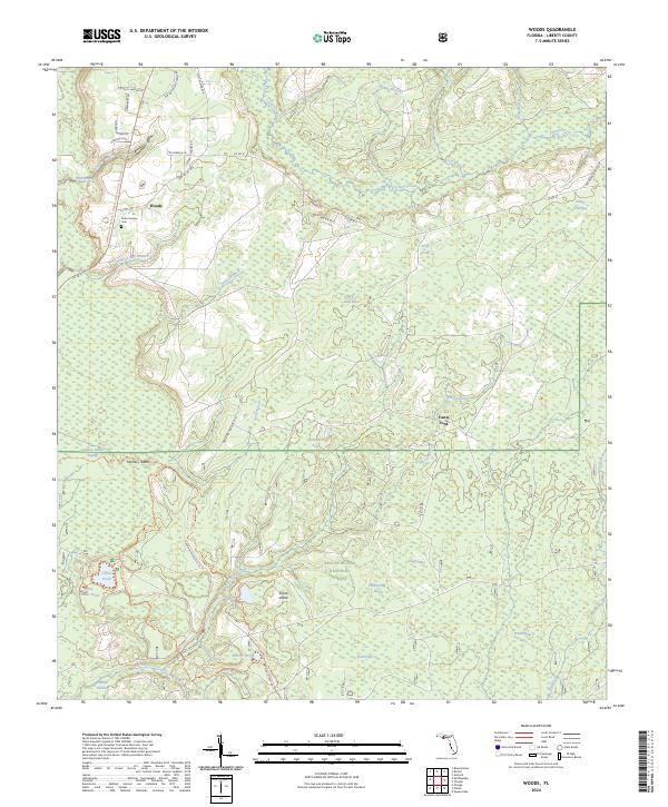
2024 Map of Woods
USGS Topo · Published 2024About this map
The Apalachicola National Forest dominates this section of Liberty County, where dense wetlands and pine flatwoods are punctuated by named "bays" and islands of higher ground. The settlement of Woods and the nearby Potter Family Cem represent the thin human footprint in a landscape defined by water. Complex drainage patterns are visible through the winding course of Telogia Creek and the southern flow of the New River.
Find a feature on this map
59 named features on this map. Tap any name to fly to it.
Don’t see what you’re looking for? This feature index may not catch every label — zoom into the map to look around manually.
Map Details
Editions of this 2024 Woods Map
This is the sole edition of this map. No revisions or reprints were ever made.
Other maps of this area

1944 · Queens Bay
USGS Topo · 1:24,000

1945 · Blountstown
USGS Topo · 1:31,680

1945 · Hosford
USGS Topo · 1:31,680

1945 · Estiffanulga
USGS Topo · 1:31,680

1945 · Orange
USGS Topo · 1:31,680

1945 · Bristol
USGS Topo · 1:31,680

1945 · Woods
USGS Topo · 1:31,680

1945 · Telogia
USGS Topo · 1:24,000

1946 · Queens Bay
USGS Topo · 1:31,680

1946 · Telogia
USGS Topo · 1:31,680