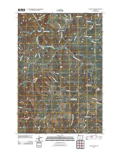
2011 Map of Woods Point
USGS Topo · Published 2011About this map
Woods Point stands as a central landmark in this portion of the Coast Range, where the complex drainage systems of the Wilson River and the North Fork North Fork Trask River converge. The landscape is defined by its industrial and recreational access, featuring an extensive network of timber and management roads such as the Stimson Mainline Rd, Archer Rd, and C-Line Rd. These routes provide passage through high-elevation terrain including South Saddle Mountain and Hembre Ridge. Local hydrology is a prominent feature, with several cataracts mapped including University Falls and Fern Rock Falls. The presence of the South Fork Camp and the Fern Rock Rest Area suggests a region utilized for both forestry operations and backcountry transit. Farther north, the crossing at Graham Bridge marks a key point of transit over the Devils Lake Fork, highlighting the area's role as a vital corridor between the mountains and the coastal interior.
Find a feature on this map
43 named features on this map. Tap any name to fly to it.
Don’t see what you’re looking for? This feature index may not catch every label — zoom into the map to look around manually.
Map Details
Editions of this 2011 Woods Point Map
This is the sole edition of this map. No revisions or reprints were ever made.
Other maps of this area

1937 · Enright
USGS Topo · 1:62,500

1941 · Timber
USGS Topo · 1:62,500

1941 · Enright
USGS Topo · 1:62,500

1942 · Ginger Peak
USGS Topo · 1:62,500

1942 · Fairdale
USGS Topo · 1:62,500

1948 · Vancouver
USGS Topo · 1:250,000

1950 · Vancouver
USGS Topo · 1:250,000

1950 · Vancouver
USGS Topo · 1:250,000

1955 · Blaine
USGS Topo · 1:62,500

1955 · Timber
USGS Topo · 1:62,500