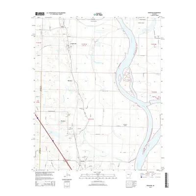
2014 Map of Woodson
USGS Topo · Published 2014About this map
The Arkansas River and its shifting backwaters define the topography of this Pulaski County corridor south of Little Rock. The meandering river channel, including the wide Chenault Reach, is buffered by a complex network of waterways like Fourche Bayou and Pennington Bayou. Low-lying terrain is dotted with small lakes and sloughs, such as Ferguson Lake and Walton Lake, which have historically influenced the settlement patterns of nearby towns like Wrightsville and Woodson.
Find a feature on this map
53 named features on this map. Tap any name to fly to it.
Don’t see what you’re looking for? This feature index may not catch every label — zoom into the map to look around manually.
Map Details
Editions of this 2014 Woodson Map
This is the sole edition of this map. No revisions or reprints were ever made.
Other maps of this area

1891 · Little Rock
USGS Topo · 1:125,000

1893 · Little Rock
USGS Topo · 1:125,000

1932 · Pastoria
USGS Topo · 1:62,500

1935 · Little Rock
USGS Topo · 1:24,000

1935 · Sweet Home
USGS Topo · 1:24,000

1935 · Alexander
USGS Topo · 1:48,000

1935 · Pastoria
USGS Topo · 1:62,500

1939 · Keo
USGS Topo · 1:31,680

1940 · Woodson
USGS Topo · 1:31,680

1941 · Alexander
USGS Topo · 1:62,500