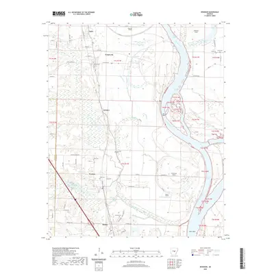
2020 Map of Woodson
USGS Topo · Published 2020About this map
Wrightsville and Woodson sit at the center of this landscape where the Arkansas River winds through a complex system of bayous and cutoffs. The terrain is defined by the shifting course of the river, which has created features like Jim Brown Island, Fourche Island, and the Case Bar Cutoff. This river-bottom environment is punctuated by a network of drainage features including Clark Bayou, Foureche Bayou, and Pennington Bayou, which historically shaped the settlement patterns and agricultural layout of Pulaski Co and Saline Co.
Find a feature on this map
85 named features on this map. Tap any name to fly to it.
Don’t see what you’re looking for? This feature index may not catch every label — zoom into the map to look around manually.
Map Details
Editions of this 2020 Woodson Map
This is the sole edition of this map. No revisions or reprints were ever made.
Other maps of this area

1891 · Little Rock
USGS Topo · 1:125,000

1893 · Little Rock
USGS Topo · 1:125,000

1932 · Pastoria
USGS Topo · 1:62,500

1935 · Little Rock
USGS Topo · 1:24,000

1935 · Sweet Home
USGS Topo · 1:24,000

1935 · Alexander
USGS Topo · 1:48,000

1935 · Pastoria
USGS Topo · 1:62,500

1939 · Keo
USGS Topo · 1:31,680

1940 · Woodson
USGS Topo · 1:31,680

1941 · Alexander
USGS Topo · 1:62,500