Loading...
Loading map...2024 Map of Woodson
USGS Topo · Published 2024About this map
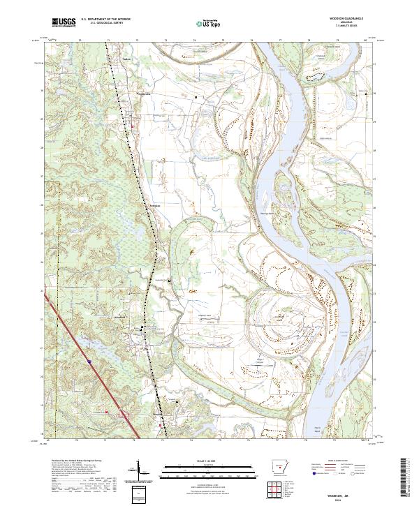
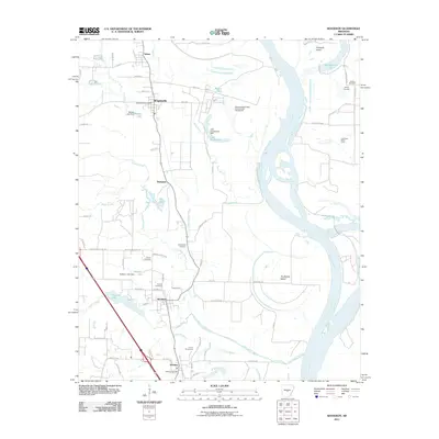
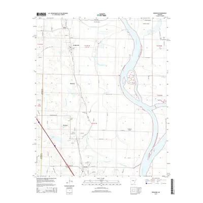
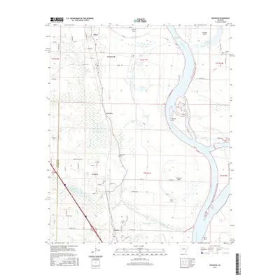
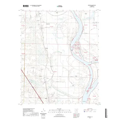
The Arkansas River carves a deep loop through this Pulaski County landscape, defining a region of wetlands, bayous, and islands. Between Chenault Reach and Harris Bend, the river's dynamic history is evident in landforms like Jim Brown Island and the Case Bar Cutoff. The floodplain is crisscrossed by drainage features such as Clark Bayou and Pennington Bayou, which feed into larger brakes and lakes like Kuykendall Brake and Ferguson Lake.
Find a feature on this map
85 named features on this map. Tap any name to fly to it.
Don’t see what you’re looking for? This feature index may not catch every label — zoom into the map to look around manually.
Map Details
Date Portrayed2024
Date Published2024
PublisherU.S. Geological Survey
Map TypeTopographic
Scale1:24,000
Physical Dimensions24 x 29 inches
Editions of this 2024 Woodson Map
This is the sole edition of this map. No revisions or reprints were ever made.
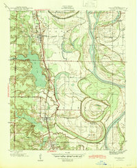
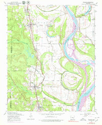
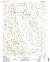
Historical Maps of Wrightsville Through Time
8 maps found
Featured Locations
Source Details
SourceU.S. Geological Survey
CopyrightPublic Domain