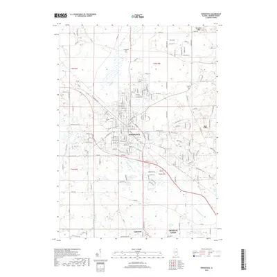
2018 Map of Woodstock
USGS Topo · Published 2018About this map
The Woodstock area in the late 2010s is characterized by a mix of established residential corridors and significant natural water systems. The Kishwaukee River flows through the central terrain, while substantial water bodies like Wonder Lake and Lily Lake anchor the northeastern and southeastern corners. Local history is deeply etched into the landscape via several burial grounds including the Scandinavian Cem, Oakland Cem, and Calvary Cem, which serve as vital landmarks for genealogical research in McHenry County.
Find a feature on this map
169 named features on this map. Tap any name to fly to it.
Don’t see what you’re looking for? This feature index may not catch every label — zoom into the map to look around manually.
Map Details
Editions of this 2018 Woodstock Map
This is the sole edition of this map. No revisions or reprints were ever made.
Other maps of this area

1925 · Elgin
USGS Topo · 1:62,500

1926 · Mc Henry
USGS Topo · 1:62,500

1932 · Harvard
USGS Topo · 1:48,000

1937 · Harvard
USGS Topo · 1:62,500

1938 · Genoa
USGS Topo · 1:62,500

1940 · Elgin
USGS Topo · 1:62,500

1944 · McHenry
USGS Topo · 1:62,500

1954 · Rockford
USGS Topo · 1:250,000

1955 · Rockford
USGS Topo · 1:250,000

1958 · Rockford
USGS Topo · 1:250,000