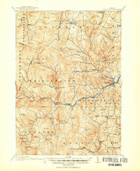
1913 Map of Woodstock
USGS Topo · Published 1950About this map
Woodstock serves as the focal point of this Windsor County survey, where the Ottauqueechee River and the Woodstock RR (Abandoned) define the valley's transit. The landscape is dotted with small-scale educational and civic centers, including the Mendall School, Pelton School, and the Town Farm, reflecting a period of decentralized community life before mid-century consolidation. To the west, the settlements of Plymouth Notch and Plymouth Union sit among the headwaters of the Black River, while the northern reaches around Barnard are marked by Silver Lake and the Morgan School. The terrain is characterized by numerous family-named peaks and hollows, such as Grandmadam Hill and Pinney Hollow, illustrating the deeply rooted agricultural and timber-based economy of the early 1910s. The dense network of brooks like Locust Creek and Broad Brook highlights the intricate drainage patterns that dictated the placement of historic roads and isolated hamlets like Notown and Five Corners.
Find a feature on this map
103 named features on this map. Tap any name to fly to it.
Don’t see what you’re looking for? This feature index may not catch every label — zoom into the map to look around manually.
Map Details
Editions of this 1913 Woodstock Map
5 editions found
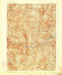
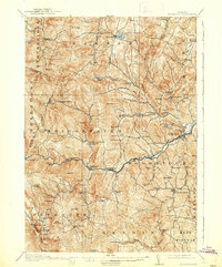
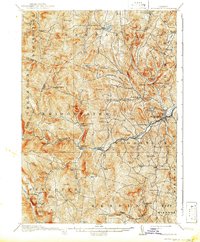
Other maps of this area

1891 · Rutland
USGS Topo · 1:62,500

1893 · Wallingford
USGS Topo · 1:62,500

1893 · Rutland
USGS Topo · 1:62,500

1896 · Strafford
USGS Topo · 1:62,500

1906 · Hanover
USGS Topo · 1:62,500

1908 · Hanover
USGS Topo · 1:62,500

1911 · Woodstock
USGS Topo · 1:62,500

1913 · Woodstock
USGS Topo · 1:62,500

1915 · Rochester
USGS Topo · 1:62,500

1917 · Rochester
USGS Topo · 1:62,500