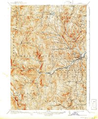
1913 Map of Woodstock
USGS Topo · Published 1942About this map
The Ottauquechee River valley serves as the central artery for this part of Windsor County, anchoring the prominent village of Woodstock and the industrial activity at English Mills and Bailey Mills. The settlement pattern in the early 20th century is defined by small crossroads and hollows, such as Briggs P O and Bridgewater Center, many of which were supported by a dense network of local education including the Mendall School and Curtis Hollow School.
Find a feature on this map
105 named features on this map. Tap any name to fly to it.
Don’t see what you’re looking for? This feature index may not catch every label — zoom into the map to look around manually.
Map Details
Editions of this 1913 Woodstock Map
5 editions found
Other maps of this area

1891 · Rutland
USGS Topo · 1:62,500

1893 · Wallingford
USGS Topo · 1:62,500

1893 · Rutland
USGS Topo · 1:62,500

1896 · Strafford
USGS Topo · 1:62,500

1906 · Hanover
USGS Topo · 1:62,500

1908 · Hanover
USGS Topo · 1:62,500

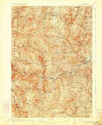
1911 · Woodstock
USGS Topo · 1:62,500

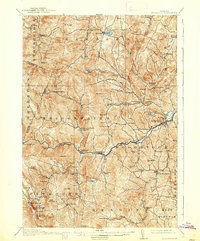
1913 · Woodstock
USGS Topo · 1:62,500

1915 · Rochester
USGS Topo · 1:62,500

1917 · Rochester
USGS Topo · 1:62,500