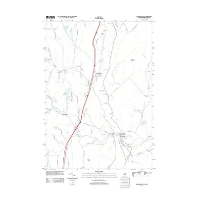
2012 Map of Woodsville
USGS Topo · Published 2012About this map
Wells River and Woodsville sit at the strategic confluence where the Ammonoosuc River meets the Connecticut River, marking a historic crossing point between Vermont and New Hampshire. This 2012 survey details the settled corridors of the upper Connecticut River valley, including the villages of East Ryegate and Boltonville. The landscape is dotted with generational landmarks such as the Bath-Haverhill Bridge and several burial grounds like Saint Josephs Cem and the Mills Memorial Cem. High ground is defined by Blue Mountain and Gardner Mountain, while the valleys are carved by the Scotch Burn and Manchester Brook. The layout of local roads, including the N Bayley-Hazen Rd, reflects long-standing transport routes through the river-front terrain.
Find a feature on this map
108 named features on this map. Tap any name to fly to it.
Don’t see what you’re looking for? This feature index may not catch every label — zoom into the map to look around manually.
Map Details
Editions of this 2012 Woodsville Map
This is the sole edition of this map. No revisions or reprints were ever made.
Other maps of this area

1929 · Moosilauke
USGS Topo · 1:62,500

1931 · Littleton
USGS Topo · 1:62,500

1931 · Woodsville
USGS Topo · 1:48,000

1932 · Littleton
USGS Topo · 1:48,000

1932 · Moosilauke
USGS Topo · 1:62,500

1935 · Woodsville
USGS Topo · 1:62,500

1935 · Littleton
USGS Topo · 1:62,500

1938 · St. Johnsbury
USGS Topo · 1:48,000

1941 · Woodsville
USGS Topo · 1:62,500

1943 · St. Johnsbury
USGS Topo · 1:62,500