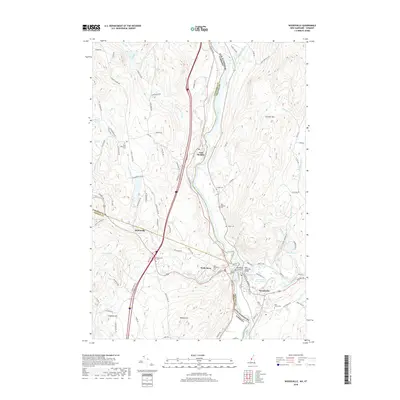
2018 Map of Woodsville
USGS Topo · Published 2018About this map
Woodsville and Wells River serve as the primary hubs on this borderland landscape, situated where the Ammonoosuc River meets the winding Connecticut River. This area marks the convergence of Grafton, Caledonia, and Orange Counties, where New Hampshire and Vermont are separated by the river's path. The settlement at East Ryegate and the smaller cluster at Boltonville are connected by a network of local roads such as Boltonville Rd and Symes Pond Rd.
Find a feature on this map
96 named features on this map. Tap any name to fly to it.
Don’t see what you’re looking for? This feature index may not catch every label — zoom into the map to look around manually.
Map Details
Editions of this 2018 Woodsville Map
This is the sole edition of this map. No revisions or reprints were ever made.
Other maps of this area

1929 · Moosilauke
USGS Topo · 1:62,500

1931 · Littleton
USGS Topo · 1:62,500

1931 · Woodsville
USGS Topo · 1:48,000

1932 · Littleton
USGS Topo · 1:48,000

1932 · Moosilauke
USGS Topo · 1:62,500

1935 · Woodsville
USGS Topo · 1:62,500

1935 · Littleton
USGS Topo · 1:62,500

1938 · St. Johnsbury
USGS Topo · 1:48,000

1941 · Woodsville
USGS Topo · 1:62,500

1943 · St. Johnsbury
USGS Topo · 1:62,500