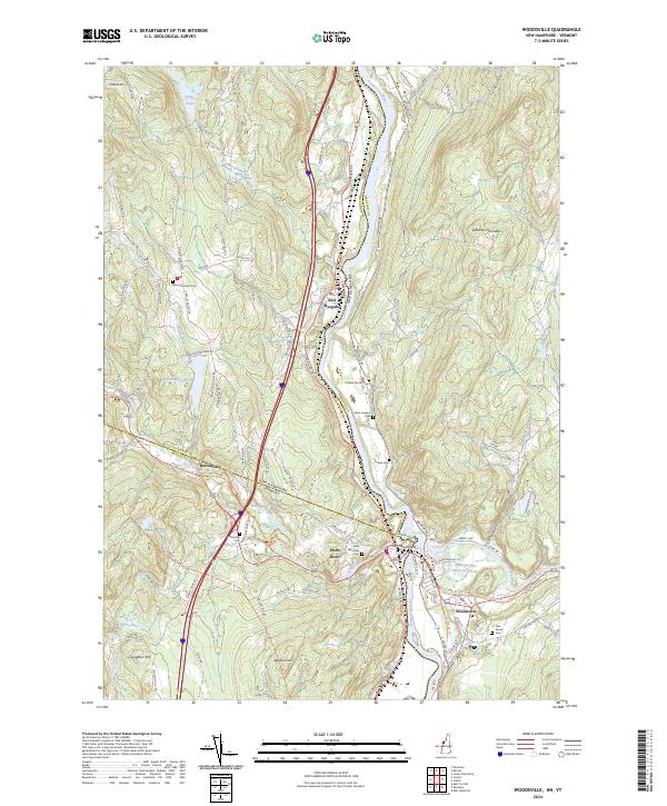
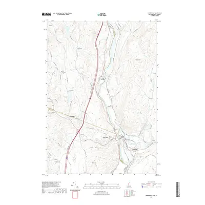
2024 Map of Woodsville
USGS Topo · Published 2024About this map
The Connecticut River serves as the central artery for this borderland geography, dividing the settlements of East Ryegate and Wells River in Vermont from the village of Woodsville in New Hampshire. This confluence of water and land is further defined by the Ammonoosuc River, which meets the Connecticut at No Mans Island. The landscape is a mix of protected conservation land within the Silvio O Conte National Fish and Wildlife Refuge and established rural centers.
Find a feature on this map
105 named features on this map. Tap any name to fly to it.
Don’t see what you’re looking for? This feature index may not catch every label — zoom into the map to look around manually.
Map Details
Editions of this 2024 Woodsville Map
This is the sole edition of this map. No revisions or reprints were ever made.
Historical Maps of Orange County Through Time
10 maps found

1931 Woodsville
Grafton County, NH
1935 Woodsville
Grafton County, NH
1941 Woodsville
Grafton County, NH
1973 Woodsville
Grafton County, NH
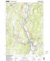
1999 Woodsville
Grafton County, NH
2012 Woodsville
Grafton County, NH
2015 Woodsville
Grafton County, NH
2018 Woodsville
Grafton County, NH
2021 Woodsville
Grafton County, NH
2024 Woodsville
Grafton County, NH