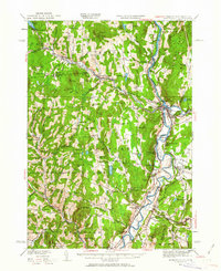
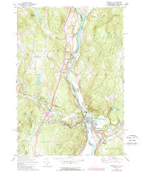
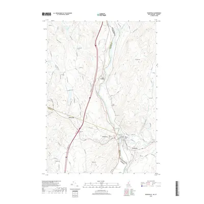
1935 Map of Woodsville
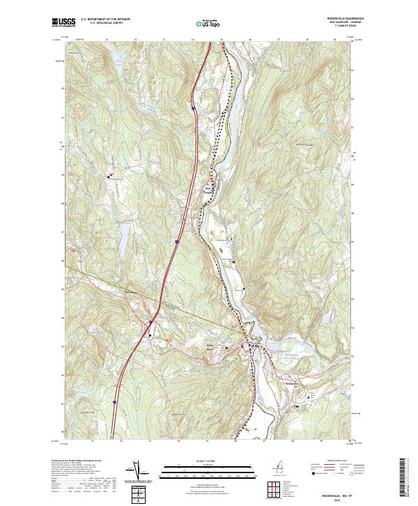
USGS Topo · Published 1962About this map
The Connecticut River serves as the focal point for this mid-1930s survey, marking the boundary between the hills of Vermont and New Hampshire. This region's industrial and agricultural character is defined by a dense network of transport, with the Canadian Pacific, Boston and Maine RR, and Montpelier and Wells River RR converging near Woodsville and Wells River. In the uplands, the landscape is dotted with granite extraction sites such as Gibson Quarry and Ryegate Quarry, alongside numerous rural schoolhouses like School No 3 and the Whitelaw Sch. Social history is visible on the landscape through the County Poor Farm and the Town Farm Hill, reflecting early 20th-century community structures. The map also reveals complex natural features like the Oxbow and Horse Meadow along the river's winding path south of Haverhill.
Find a feature on this map
118 named features on this map. Tap any name to fly to it.
Don’t see what you’re looking for? This feature index may not catch every label — zoom into the map to look around manually.
Map Details
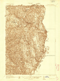
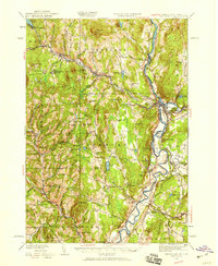
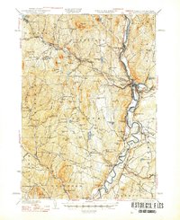
Editions of this 1935 Woodsville Map
5 editions found


Historical Maps of Haverhill Through Time
10 maps found

1931 Woodsville
Grafton County, NH
1935 Woodsville
Grafton County, NH
1941 Woodsville
Grafton County, NH
1973 Woodsville
Grafton County, NH
1999 Woodsville
Grafton County, NH
2012 Woodsville
Grafton County, NH
2015 Woodsville
Grafton County, NH
2018 Woodsville
Grafton County, NH
2021 Woodsville
Grafton County, NH
2024 Woodsville
Grafton County, NH