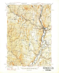
1941 Map of Woodsville
USGS Topo · Published 1948About this map
The Connecticut River serves as the central artery of this region, winding through the borderlands between Vermont and New Hampshire. In the early 1930s, when these surveys were conducted, the landscape was defined by its extractive industries and a dense network of rural infrastructure. Granite extraction is evident at the Gibson Quarry and Ryegate Quarry near South Ryegate, while the Montpelier and Wells River RR provided a vital connection for moving materials and people through the Wells River valley.
Find a feature on this map
90 named features on this map. Tap any name to fly to it.
Don’t see what you’re looking for? This feature index may not catch every label — zoom into the map to look around manually.
Map Details
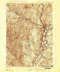
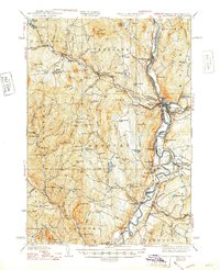
Editions of this 1941 Woodsville Map
4 editions found

Other maps of this area

1896 · Strafford
USGS Topo · 1:62,500

1928 · Rumney
USGS Topo · 1:62,500

1929 · Moosilauke
USGS Topo · 1:62,500

1931 · Mt. Cube
USGS Topo · 1:62,500

1931 · Littleton
USGS Topo · 1:62,500

1931 · Woodsville
USGS Topo · 1:48,000

1932 · Rumney
USGS Topo · 1:62,500

1932 · Littleton
USGS Topo · 1:48,000

1932 · Moosilauke
USGS Topo · 1:62,500

1933 · Mt. Cube
USGS Topo · 1:62,500