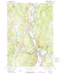
1973 Map of Woodsville
USGS Topo · Published 1989About this map
The Connecticut River serves as the focal point of this regional study, carving the boundary between Vermont and New Hampshire where the Ammonoosuc River and Wells River converge. The twin villages of Woodsville and Wells River form a busy civic hub, connected by bridges and characterized by a dense concentration of local infrastructure including the Cottage Hospital and several well-established burial grounds like Pine Grove Cem and Muir Mem Cem.
Find a feature on this map
45 named features on this map. Tap any name to fly to it.
Don’t see what you’re looking for? This feature index may not catch every label — zoom into the map to look around manually.
Map Details
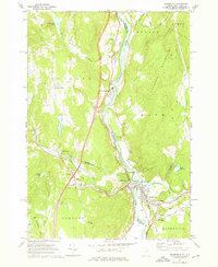
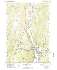
Editions of this 1973 Woodsville Map
3 editions found
Other maps of this area

1929 · Moosilauke
USGS Topo · 1:62,500

1931 · Littleton
USGS Topo · 1:62,500

1931 · Woodsville
USGS Topo · 1:48,000

1932 · Littleton
USGS Topo · 1:48,000

1932 · Moosilauke
USGS Topo · 1:62,500

1935 · Woodsville
USGS Topo · 1:62,500

1935 · Littleton
USGS Topo · 1:62,500

1938 · St. Johnsbury
USGS Topo · 1:48,000

1941 · Woodsville
USGS Topo · 1:62,500

1943 · St. Johnsbury
USGS Topo · 1:62,500