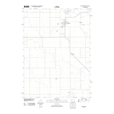
2010 Map of Woodward
USGS Topo · Published 2010About this map
Woodward stands as the primary hub of this Iowa landscape, its grid pattern defined by a mix of residential streets and essential services like the Woodward Post Office. The surrounding rural territory is organized by a disciplined section line road system, including 340th St and 150th St, which connect the main town to smaller outlying locales such as Xenia and Moran. For those tracing local heritage, the map is remarkably dense with burial sites, showing Woodward Cemetery, Xenia Cemetery, Greenwood Cemetery, and Beaver Cemetery distributed across the countryside.
Find a feature on this map
12 named features on this map. Tap any name to fly to it.
Don’t see what you’re looking for? This feature index may not catch every label — zoom into the map to look around manually.
Map Details
Editions of this 2010 Woodward Map
This is the sole edition of this map. No revisions or reprints were ever made.
Other maps of this area

1908 · Waukee
USGS Topo · 1:62,500

1911 · Madrid
USGS Topo · 1:62,500

1914 · Madrid
USGS Topo · 1:62,500

1949 · Adel
USGS Topo · 1:62,500

1950 · Perry
USGS Topo · 1:62,500

1951 · Perry
USGS Topo · 1:62,500

1951 · Adel
USGS Topo · 1:62,500

1954 · Omaha
USGS Topo · 1:250,000

1954 · Des Moines
USGS Topo · 1:250,000

1956 · Des Moines
USGS Topo · 1:250,000