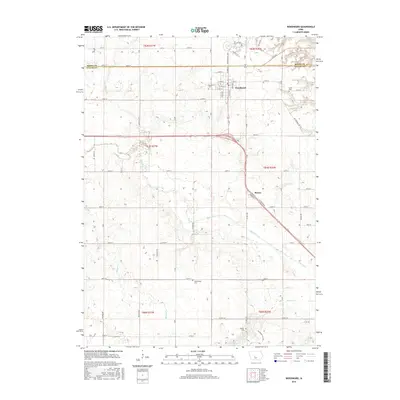
2015 Map of Woodward
USGS Topo · Published 2015About this map
Woodward sits at the intersection of Boone and Dallas counties, serving as the primary hub for this fertile agricultural landscape. The town is defined by its rectilinear grid and the presence of the Woodward Cem on its western edge. Further south, the small settlement of Moran is positioned along the prominent 141 Diagonal, which cuts across the traditional section lines of the Public Land Survey System. The area is heavily drained by a network of waterways including Beaver Creek, Slough Cr, and Little Beaver Cr, which dictate the local topography.
Find a feature on this map
44 named features on this map. Tap any name to fly to it.
Don’t see what you’re looking for? This feature index may not catch every label — zoom into the map to look around manually.
Map Details
Editions of this 2015 Woodward Map
This is the sole edition of this map. No revisions or reprints were ever made.
Other maps of this area

1908 · Waukee
USGS Topo · 1:62,500

1911 · Madrid
USGS Topo · 1:62,500

1914 · Madrid
USGS Topo · 1:62,500

1949 · Adel
USGS Topo · 1:62,500

1950 · Perry
USGS Topo · 1:62,500

1951 · Perry
USGS Topo · 1:62,500

1951 · Adel
USGS Topo · 1:62,500

1954 · Omaha
USGS Topo · 1:250,000

1954 · Des Moines
USGS Topo · 1:250,000

1956 · Des Moines
USGS Topo · 1:250,000