
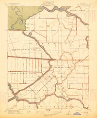
1913 Map of Woodward Island
USGS Topo · Published 1913About this map
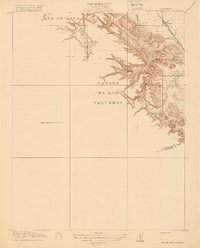
The intricate waterways and reclaimed tracts of the California Delta are documented here just after the turn of the century, following the era of massive levee construction. This landscape is defined by its engineering, featuring numerous installations like the Pumping Plant and a Cannery at Woodward that served the region's burgeoning agricultural economy. The Atchison Topeka and Santa Fe R R cuts a straight line across the marshy terrain, connecting the small settlements of Bixler, Werner, and Orwood to the larger river network.
Find a feature on this map
35 named features on this map. Tap any name to fly to it.
Don’t see what you’re looking for? This feature index may not catch every label — zoom into the map to look around manually.
Map Details
Editions of this 1913 Woodward Island Map
This is the sole edition of this map. No revisions or reprints were ever made.
Other maps of this area

1894 · Lodi
USGS Topo · 1:125,000

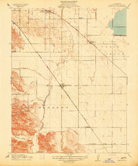
1910 · Bouldin
USGS Topo · 1:31,680

1910 · Jersey
USGS Topo · 1:31,680

1910 · Headreach
USGS Topo · 1:31,680

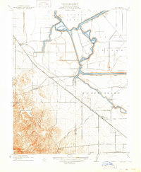
1911 · Byron Hot Springs
USGS Topo · 1:31,680
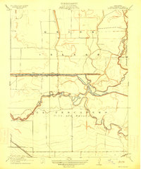
1913 · Holt
USGS Topo · 1:31,680
1914 · Brentwood
USGS Topo · 1:31,680
1914 · Bethany
USGS Topo · 1:31,680
1914 · Union Island
USGS Topo · 1:31,680
1916 · Byron Hot Springs
USGS Topo · 1:31,680