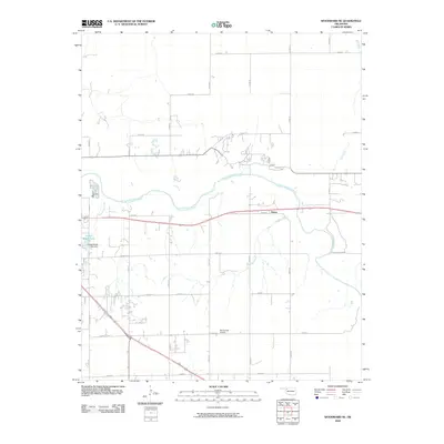
2010 Map of Woodward NE
USGS Topo · Published 2010About this map
The North Canadian River meanders across this plains landscape just east of the city limits, defining the local topography and drainage patterns. The small settlement of Alston is situated along the highway corridor, serving as a distinct point of interest in this agricultural and aviation-influenced region. Aviation history is grounded here by the McCormick Airport, while recreational and municipal infrastructure is evidenced by the presence of Crystal Beach Lake and the Crystal Beach Lake Dam on the western edge of the quadrangle.
Find a feature on this map
28 named features on this map. Tap any name to fly to it.
Don’t see what you’re looking for? This feature index may not catch every label — zoom into the map to look around manually.
Map Details
Editions of this 2010 Woodward NE Map
This is the sole edition of this map. No revisions or reprints were ever made.
Other maps of this area

1955 · Woodward
USGS Topo · 1:250,000

1958 · Woodward
USGS Topo · 1:250,000

1969 · Woodward SW
USGS Topo · 1:24,000

1969 · Woodward
USGS Topo · 1:24,000

1969 · Mooreland
USGS Topo · 1:24,000

1969 · Sharon
USGS Topo · 1:24,000

1969 · Woodward NE
USGS Topo · 1:24,000

1969 · Mooreland SW
USGS Topo · 1:24,000

1970 · Fairvalley SW
USGS Topo · 1:24,000

1970 · Sleeping Bear Creek SW
USGS Topo · 1:24,000