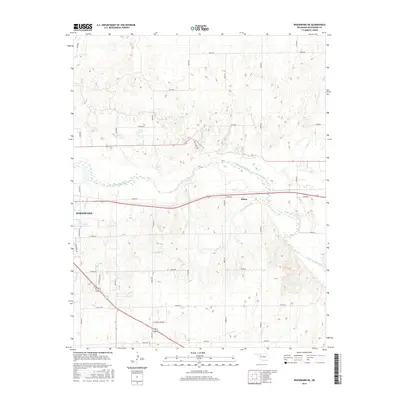
2016 Map of Woodward NE
USGS Topo · Published 2016About this map
The North Canadian River meanders across this landscape, defining the topography north of Woodward. This 2016 survey captures the northeastern outskirts of the city, where the grid of Woodward transitions into a network of rural section-line roads and industrial corridors. The small community of Alston is situated along the river valley near the junction of E0400 Rd and N2080 Rd, while the southern reaches of the map show the city’s expansion toward the Industrial Park Rd.
Find a feature on this map
31 named features on this map. Tap any name to fly to it.
Don’t see what you’re looking for? This feature index may not catch every label — zoom into the map to look around manually.
Map Details
Editions of this 2016 Woodward NE Map
This is the sole edition of this map. No revisions or reprints were ever made.
Other maps of this area

1955 · Woodward
USGS Topo · 1:250,000

1958 · Woodward
USGS Topo · 1:250,000

1969 · Woodward SW
USGS Topo · 1:24,000

1969 · Woodward
USGS Topo · 1:24,000

1969 · Mooreland
USGS Topo · 1:24,000

1969 · Sharon
USGS Topo · 1:24,000

1969 · Woodward NE
USGS Topo · 1:24,000

1969 · Mooreland SW
USGS Topo · 1:24,000

1970 · Fairvalley SW
USGS Topo · 1:24,000

1970 · Sleeping Bear Creek SW
USGS Topo · 1:24,000