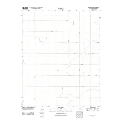
2012 Map of Woodward SW
USGS Topo · Published 2012About this map
Stengemier Cem sits centrally in this prairie landscape of Woodward County, serving as a quiet waypoint in an area defined by its systematic section-line grid. The terrain is marked by the branching drainage of Indian Creek in the northern half and the meandering path of North Persimmon Creek in the southeast. While much of the territory is accessed by numbered rural routes like E0480 Rd and N2000 Rd, the presence of named ways such as Pasture Rd and Summerfield St suggests the transition from open range to localized residential development. The map illustrates a typical Oklahoma high plains settlement pattern, where small family landmarks and seasonal watercourses provide the primary points of orientation across the wide-open geography.
Find a feature on this map
24 named features on this map. Tap any name to fly to it.
Don’t see what you’re looking for? This feature index may not catch every label — zoom into the map to look around manually.
Map Details
Editions of this 2012 Woodward SW Map
This is the sole edition of this map. No revisions or reprints were ever made.
Other maps of this area

1955 · Woodward
USGS Topo · 1:250,000

1958 · Woodward
USGS Topo · 1:250,000

1969 · Fargo
USGS Topo · 1:24,000

1969 · Vici NW
USGS Topo · 1:24,000

1969 · Woodward SW
USGS Topo · 1:24,000

1969 · Woodward
USGS Topo · 1:24,000

1969 · Sharon
USGS Topo · 1:24,000

1969 · Fargo SE
USGS Topo · 1:24,000

1969 · Woodward NE
USGS Topo · 1:24,000

1969 · Vici
USGS Topo · 1:24,000