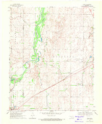
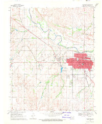
1969 Map of Fargo
USGS Topo · Published 1971About this map
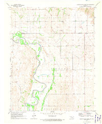
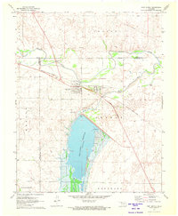
The High Plains landscape of Northwest Oklahoma is defined here by the diagonal corridor of the Atchison Topeka and Santa Fe railroad, which links the small communities of Fargo and Tangier. This survey captures the region as petroleum infrastructure began to intermingle with traditional ranching and transit, evidenced by numerous gas wells scattered across the drainage basins of Wolf Creek and Turkey Creek. Near the border of Ellis and Woodward Counties, the terrain is marked by a network of intermittent streams like Sixteenmile Creek and Boggy Creek, which have carved subtle valleys through the prairie.
Find a feature on this map
20 named features on this map. Tap any name to fly to it.
Don’t see what you’re looking for? This feature index may not catch every label — zoom into the map to look around manually.
Map Details
Editions of this 1969 Fargo Map
This is the sole edition of this map. No revisions or reprints were ever made.
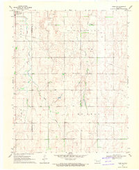
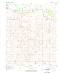
Other maps of this area

1955 · Woodward
USGS Topo · 1:250,000

1958 · Woodward
USGS Topo · 1:250,000
1969 · Fargo SW
USGS Topo · 1:24,000
1969 · Fargo NW
USGS Topo · 1:24,000
1969 · Woodward SW
USGS Topo · 1:24,000
1969 · Woodward
USGS Topo · 1:24,000
1969 · Fargo SE
USGS Topo · 1:24,000
1970 · Sleeping Bear Creek SW
USGS Topo · 1:24,000
1971 · May East
USGS Topo · 1:24,000
1971 · Fort Supply
USGS Topo · 1:24,000