Loading...
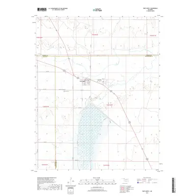
Loading map...1971 Map of Fort Supply
USGS Topo · Published 1973About this map
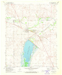
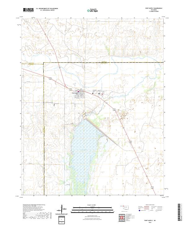
Fort Supply serves as the focal point of this 1971 survey, centered near the convergence of the Beaver River and Wolf Creek. The landscape is dominated by the large Fort Supply Reservoir, which features several developed Picnic Areas and a Campground along its eastern shore. Infrastructure in the early 1970s is well-defined, including the Western State Hospital complex and its associated Waterworks and Sewage Disposal facilities.
Find a feature on this map
31 named features on this map. Tap any name to fly to it.
Don’t see what you’re looking for? This feature index may not catch every label — zoom into the map to look around manually.
Map Details
Date Portrayed1971
Date Published1973
PublisherU.S. Geological Survey
Map TypeTopographic
Scale1:24,000
Physical Dimensions22.5 x 27.4 inches
Editions of this 1971 Fort Supply Map
This is the sole edition of this map. No revisions or reprints were ever made.
Historical Maps of Fort Supply Through Time
6 maps found
Featured Locations
Source Details
SourceU.S. Geological Survey
CopyrightPublic Domain