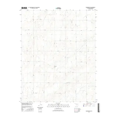
2016 Map of Woodward SW
USGS Topo · Published 2016About this map
Stengemier Cem serves as a quiet historical anchor in this rural portion of Woodward County, positioned centrally among the rolling terrain of northwestern Oklahoma. The landscape is defined by the winding drainage of Indian Cr and N Persimmon Cr, which cut through a network of section-line roads. This 2016 survey highlights the transition from traditional rural routes like N1980 Rd and N2010 Rd to named thoroughfares such as Sharon Shattuck Rd and Summerfield St. The presence of Lease Rd suggests the continued importance of land access for local industry, while the rigid grid of roads like E0450 Rd and Ew 50 illustrates the persistent structure of the state's original land survey system in an area dominated by ranching and resource extraction.
Find a feature on this map
29 named features on this map. Tap any name to fly to it.
Don’t see what you’re looking for? This feature index may not catch every label — zoom into the map to look around manually.
Map Details
Editions of this 2016 Woodward SW Map
This is the sole edition of this map. No revisions or reprints were ever made.
Other maps of this area

1955 · Woodward
USGS Topo · 1:250,000

1958 · Woodward
USGS Topo · 1:250,000

1969 · Fargo
USGS Topo · 1:24,000

1969 · Vici NW
USGS Topo · 1:24,000

1969 · Woodward SW
USGS Topo · 1:24,000

1969 · Woodward
USGS Topo · 1:24,000

1969 · Sharon
USGS Topo · 1:24,000

1969 · Fargo SE
USGS Topo · 1:24,000

1969 · Woodward NE
USGS Topo · 1:24,000

1969 · Vici
USGS Topo · 1:24,000