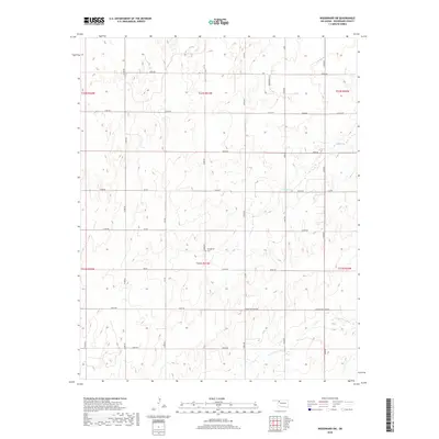
2018 Map of Woodward SW
USGS Topo · Published 2018About this map
Stengemier Cem serves as a central landmark in this portion of rural Woodward County, where the landscape is defined by a systematic grid of section roads and the natural drainage patterns of the southern plains. Waterways like Indian Cr and N Persimmon Cr cut through the terrain, influencing the layout of local routes such as Sharon Shattuck Rd. The map illustrates a rural environment primarily organized for agriculture and local transport, characterized by long-stretching corridors like N2010 Rd and E0470 Rd. The presence of Lease Rd suggests areas of resource management or specific land-use agreements typical of the region's mid-century and modern development. For those tracing local family history, the small burial site and the intersections of these numbered roads provide concrete points for locating homesteads or ancestral lands.
Find a feature on this map
36 named features on this map. Tap any name to fly to it.
Don’t see what you’re looking for? This feature index may not catch every label — zoom into the map to look around manually.
Map Details
Editions of this 2018 Woodward SW Map
This is the sole edition of this map. No revisions or reprints were ever made.
Other maps of this area

1955 · Woodward
USGS Topo · 1:250,000

1958 · Woodward
USGS Topo · 1:250,000

1969 · Fargo
USGS Topo · 1:24,000

1969 · Vici NW
USGS Topo · 1:24,000

1969 · Woodward SW
USGS Topo · 1:24,000

1969 · Woodward
USGS Topo · 1:24,000

1969 · Sharon
USGS Topo · 1:24,000

1969 · Fargo SE
USGS Topo · 1:24,000

1969 · Woodward NE
USGS Topo · 1:24,000

1969 · Vici
USGS Topo · 1:24,000