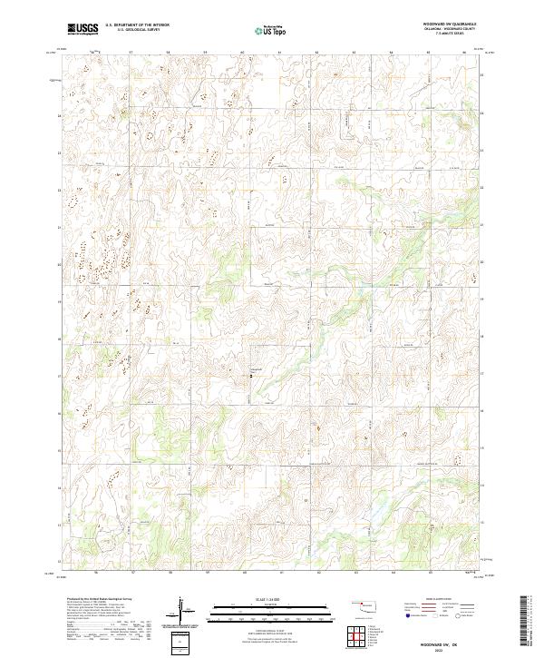
2022 Map of Woodward SW
USGS Topo · Published 2022About this map
Stengemier Cem stands as a quiet landmark amidst the undulating drainage patterns of Woodward County in the early twenty-first century. This western Oklahoma landscape is defined by the ephemeral flows of Indian Cr in the northeast and Persimmon Cr in the southeast, cutting through a sectioned grid of rural section lines. The map reveals a transition from traditional livestock and farming routes to modern infrastructure, evidenced by Lease Rd and the prominent Sharon Shattuck Rd. The terrain is marked by a network of numbered section roads like n2010 RD and e0490 RD, which trace the Public Land Survey System boundaries across Townships 21 and 22 North. Apart from the cemetery, the area remains sparsely settled, emphasizing the open ranching or agricultural character of this plains region.
Find a feature on this map
34 named features on this map. Tap any name to fly to it.
Don’t see what you’re looking for? This feature index may not catch every label — zoom into the map to look around manually.
Map Details
Editions of this 2022 Woodward SW Map
This is the sole edition of this map. No revisions or reprints were ever made.
Other maps of this area

1955 · Woodward
USGS Topo · 1:250,000

1958 · Woodward
USGS Topo · 1:250,000

1969 · Fargo
USGS Topo · 1:24,000

1969 · Vici NW
USGS Topo · 1:24,000

1969 · Woodward SW
USGS Topo · 1:24,000

1969 · Woodward
USGS Topo · 1:24,000

1969 · Sharon
USGS Topo · 1:24,000

1969 · Fargo SE
USGS Topo · 1:24,000

1969 · Woodward NE
USGS Topo · 1:24,000

1969 · Vici
USGS Topo · 1:24,000