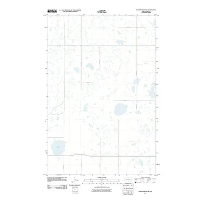
2011 Map of Woodworth NW
USGS Topo · Published 2011About this map
Round Lake serves as the dominant hydrological feature of this prairie landscape in Stutsman County. The area is defined by a rigorous grid of section-line roads, such as 48th Ave SE and 18th St SE, which facilitate travel through the numerous small potholes and wetlands characteristic of the North Dakota pothole region. This 2011 survey illustrates the endurance of the township and range survey system, where nearly every mile is marked by a transit-ready corridor like 12th St SE. The map provides a clear picture of rural land management and drainage patterns, showing how the natural depressions of the terrain interact with the engineered precision of the local road network, including 33rd Ave SE at the eastern edge.
Find a feature on this map
12 named features on this map. Tap any name to fly to it.
Don’t see what you’re looking for? This feature index may not catch every label — zoom into the map to look around manually.
Map Details
Editions of this 2011 Woodworth NW Map
This is the sole edition of this map. No revisions or reprints were ever made.
Other maps of this area

1952 · New Rockford
USGS Topo · 1:250,000

1956 · New Rockford
USGS Topo · 1:250,000

1971 · New Rockford
USGS Topo · 1:250,000

1972 · Woodworth
USGS Topo · 1:24,000
1972 · Lake Louise
USGS Topo · 1:24,000

1972 · Lake Williams
USGS Topo · 1:24,000
1972 · Pearl Lake
USGS Topo · 1:24,000
1972 · Woodworth NW
USGS Topo · 1:24,000
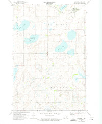
1972 · Pettibone
USGS Topo · 1:24,000
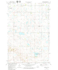
1978 · Bowdon SE
USGS Topo · 1:24,000