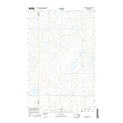
2014 Map of Woodworth NW
USGS Topo · Published 2014About this map
Kidder Co Stutsman Co marks the western edge of this prairie landscape, where the boundary between two counties cuts through a terrain defined by glacial potholes and small wetlands. The area is dominated by the waters of Round Lake in the southwest, providing a focal point for the surrounding topography. A sparse but systematic grid of rural roads, including 12th St Se and 53rd Ave Se, provides access to the remote sections of this agricultural region. The southern portion is traversed by Hy 36 Se, which serves as the primary artery connecting this part of the county to larger transport networks. This survey illustrates the modern layout of the North Dakota countryside, showing how contemporary section lines and state highways have shaped the organization of the land.
Find a feature on this map
14 named features on this map. Tap any name to fly to it.
Don’t see what you’re looking for? This feature index may not catch every label — zoom into the map to look around manually.
Map Details
Editions of this 2014 Woodworth NW Map
This is the sole edition of this map. No revisions or reprints were ever made.
Other maps of this area

1952 · New Rockford
USGS Topo · 1:250,000

1956 · New Rockford
USGS Topo · 1:250,000

1971 · New Rockford
USGS Topo · 1:250,000

1972 · Woodworth
USGS Topo · 1:24,000
1972 · Lake Louise
USGS Topo · 1:24,000

1972 · Lake Williams
USGS Topo · 1:24,000
1972 · Pearl Lake
USGS Topo · 1:24,000
1972 · Woodworth NW
USGS Topo · 1:24,000
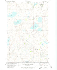
1972 · Pettibone
USGS Topo · 1:24,000
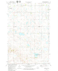
1978 · Bowdon SE
USGS Topo · 1:24,000