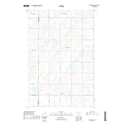
2018 Map of Woodworth NW
USGS Topo · Published 2018About this map
Round Lake sits as a primary geographical anchor in this prairie landscape, where the irregular topography of the Missouri Coteau is evident through numerous small wetlands and depressions. The boundary between Kidder Co Stutsman Co runs vertically through the western portion of the map, illustrating the rigid section-line organization typical of the Great Plains. A grid of rural section roads, including 12th St SE and 19th St SE, facilitates travel across the township divisions of T144N, T143N, and T142N. The path of Co Hwy 69 provides a north-south corridor through the eastern sections, connecting the scattered agricultural land. This survey, compiled from 2015-2016 data, emphasizes the persistence of traditional land management and the importance of water features like Round Lake in an otherwise sparsely developed region.
Find a feature on this map
23 named features on this map. Tap any name to fly to it.
Don’t see what you’re looking for? This feature index may not catch every label — zoom into the map to look around manually.
Map Details
Editions of this 2018 Woodworth NW Map
This is the sole edition of this map. No revisions or reprints were ever made.
Other maps of this area

1952 · New Rockford
USGS Topo · 1:250,000

1956 · New Rockford
USGS Topo · 1:250,000

1971 · New Rockford
USGS Topo · 1:250,000

1972 · Woodworth
USGS Topo · 1:24,000
1972 · Lake Louise
USGS Topo · 1:24,000

1972 · Lake Williams
USGS Topo · 1:24,000
1972 · Pearl Lake
USGS Topo · 1:24,000
1972 · Woodworth NW
USGS Topo · 1:24,000
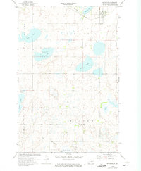
1972 · Pettibone
USGS Topo · 1:24,000
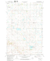
1978 · Bowdon SE
USGS Topo · 1:24,000