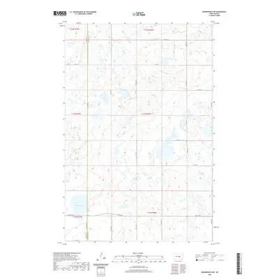
2020 Map of Woodworth NW
USGS Topo · Published 2020About this map
The county line between Kidder Co and Stutsman Co bisects this prairie landscape, where the glacial topography of the Missouri Coteau is defined by hundreds of small depressions and seasonal wetlands. Round Lake sits as the most prominent water body in the southwestern corner of the quadrangle, serving as a primary landmark in a region characterized by its lack of established towns. The survey captures a modern section-line road grid, including Co Hwy 69 and numerous local routes like 12th St SE and 53rd Ave SE, which follow the rigid Public Land Survey System boundaries. This area remains largely dedicated to agriculture and wildlife habitat, with the map recording the intricate network of water and elevation that dictates the placement of rural homesteads and transit corridors.
Find a feature on this map
22 named features on this map. Tap any name to fly to it.
Don’t see what you’re looking for? This feature index may not catch every label — zoom into the map to look around manually.
Map Details
Editions of this 2020 Woodworth NW Map
This is the sole edition of this map. No revisions or reprints were ever made.
Other maps of this area

1952 · New Rockford
USGS Topo · 1:250,000

1956 · New Rockford
USGS Topo · 1:250,000

1971 · New Rockford
USGS Topo · 1:250,000

1972 · Woodworth
USGS Topo · 1:24,000
1972 · Lake Louise
USGS Topo · 1:24,000

1972 · Lake Williams
USGS Topo · 1:24,000
1972 · Pearl Lake
USGS Topo · 1:24,000
1972 · Woodworth NW
USGS Topo · 1:24,000
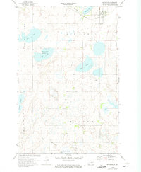
1972 · Pettibone
USGS Topo · 1:24,000
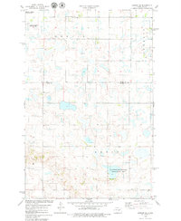
1978 · Bowdon SE
USGS Topo · 1:24,000