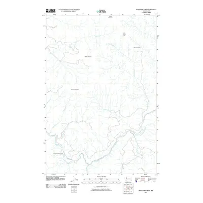
2011 Map of Woolford Creek
USGS Topo · Published 2011About this map
The Kalama River dominates this portion of Cowlitz County, serving as the central drainage for a series of high peaks and timbered ridges in southwest Washington. By the early 21st century, the river's ecological importance is highlighted by the presence of the Kalama Falls Salmon Hatchery and the natural barrier of Lower Kalama River Falls. The drainage network is complex, with Woolford Creek, Summers Creek, and Little Kalama River cutting through the mountainous terrain.
Find a feature on this map
25 named features on this map. Tap any name to fly to it.
Don’t see what you’re looking for? This feature index may not catch every label — zoom into the map to look around manually.
Map Details
Editions of this 2011 Woolford Creek Map
This is the sole edition of this map. No revisions or reprints were ever made.
Other maps of this area

1921 · Kalama
USGS Topo · 1:62,500

1922 · St. Helens
USGS Topo · 1:62,500

1940 · La Center
USGS Topo · 1:62,500

1941 · St Helens
USGS Topo · 1:62,500

1943 · Pigeon Springs
USGS Topo · 1:62,500

1943 · St Helens
USGS Topo · 1:62,500

1948 · Vancouver
USGS Topo · 1:250,000

1950 · Vancouver
USGS Topo · 1:250,000

1950 · Vancouver
USGS Topo · 1:250,000

1953 · Hoquiam
USGS Topo · 1:250,000