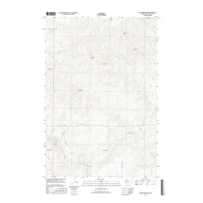
2017 Map of Woolford Creek
USGS Topo · Published 2017About this map
Kalama River flows through the southern portion of this Cowlitz County landscape, marked by the presence of the Lower Kalama River Falls and fed by several tributaries including Knowlton Cr. The terrain is defined by a series of prominent summits, most notably Woolford Mtn and Baldy Mtn, which separate the various creek drainages. A network of rural access ways, such as Kalama River Rd and Italian Creek Rd, traces the lower elevations and river valleys, providing a view into the modern road infrastructure of this timber and water-rich region. To the north, Goble Mtn and Wild Horse Peak overlook Goble Cr, illustrating the steep vertical relief and drainage patterns typical of the Washington Cascades foothills. This 2017 survey reflects a landscape largely defined by its natural topography and hydrology, with minimal residential development and an emphasis on named peaks like Monument Peak.
Find a feature on this map
27 named features on this map. Tap any name to fly to it.
Don’t see what you’re looking for? This feature index may not catch every label — zoom into the map to look around manually.
Map Details
Editions of this 2017 Woolford Creek Map
This is the sole edition of this map. No revisions or reprints were ever made.
Other maps of this area

1921 · Kalama
USGS Topo · 1:62,500

1922 · St. Helens
USGS Topo · 1:62,500

1940 · La Center
USGS Topo · 1:62,500

1941 · St Helens
USGS Topo · 1:62,500

1943 · Pigeon Springs
USGS Topo · 1:62,500

1943 · St Helens
USGS Topo · 1:62,500

1948 · Vancouver
USGS Topo · 1:250,000

1950 · Vancouver
USGS Topo · 1:250,000

1950 · Vancouver
USGS Topo · 1:250,000

1953 · Hoquiam
USGS Topo · 1:250,000