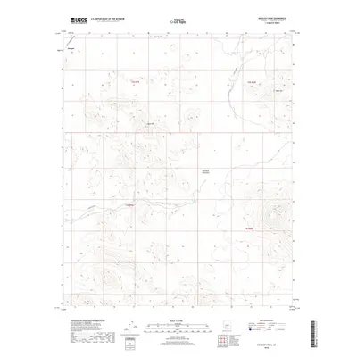
2018 Map of Woolsey Peak
USGS Topo · Published 2018About this map
Woolsey Peak stands as the primary landmark in this desert landscape within the Gila Bend Mountains. The terrain is defined by dramatic volcanic and tectonic features, including Signal Mtn, Webb Mtn, and Black Butte, which rise sharply above the surrounding desert floor. Settlement is sparse, represented by Harqua in the northwest, while the historic W Southern Pacific Trl suggests the path of earlier transportation corridors through the region. Water sources in this arid environment are critical, though intermittent, as seen in the drainage of Woolsey Wash and the presence of Woolsey Spring and Jagow Tank. The drainage of Agua Caliente cuts through the northeast, reflecting the seasonal hydrology that has shaped the human and natural history of Maricopa County.
Find a feature on this map
16 named features on this map. Tap any name to fly to it.
Don’t see what you’re looking for? This feature index may not catch every label — zoom into the map to look around manually.
Map Details
Editions of this 2018 Woolsey Peak Map
This is the sole edition of this map. No revisions or reprints were ever made.
Other maps of this area

1942 · Vicksburg
USGS Topo · 1:250,000

1951 · Dendora Valley
USGS Topo · 1:62,500

1951 · Woolsey Peak
USGS Topo · 1:62,500

1954 · Phoenix
USGS Topo · 1:250,000

1957 · Phoenix
USGS Topo · 1:250,000

1958 · Phoenix
USGS Topo · 1:250,000

1960 · Phoenix
USGS Topo · 1:250,000

1962 · Cortez Peak
USGS Topo · 1:62,500

1962 · Arlington
USGS Topo · 1:62,500

1969 · Phoenix
USGS Topo · 1:250,000