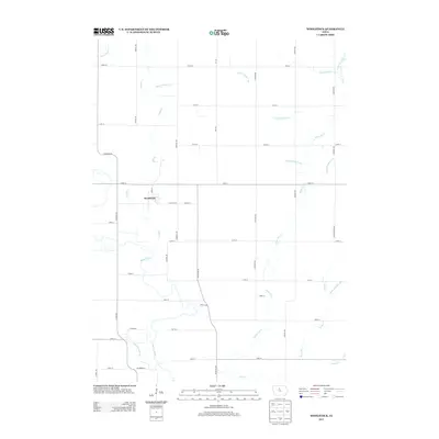
2013 Map of Woolstock
USGS Topo · Published 2013About this map
Woolstock serves as the central hub of this Wright County landscape, situated where the grid of rural township roads meets the natural curves of the Boone River. The area is defined by a highly managed hydrologic system, evidenced by numerous numbered drainage projects such as Ditch Number 130, Ditch Number 172, and Ditch Number 68. These man-made channels support the intensive agricultural use of the land between the more traditional waterways of Eagle Creek and White Fox Creek. The map provides a precise record of the early 21st-century rural infrastructure, from the residential streets of Woolstock like W Neville St to the sprawling network of county avenues and numbered streets that partition the Iowa prairie. Collectors of local history can trace the convergence of Buck Creek and Lyons Creek in the southeastern quadrant, reflecting the enduring geography of the Boone River valley.
Find a feature on this map
49 named features on this map. Tap any name to fly to it.
Don’t see what you’re looking for? This feature index may not catch every label — zoom into the map to look around manually.
Map Details
Editions of this 2013 Woolstock Map
This is the sole edition of this map. No revisions or reprints were ever made.
Other maps of this area

1954 · Waterloo
USGS Topo · 1:250,000

1955 · Waterloo
USGS Topo · 1:250,000

1978 · Blairsburg
USGS Topo · 1:24,000

1978 · Holmes
USGS Topo · 1:24,000

1978 · Woolstock
USGS Topo · 1:24,000

1978 · Clarion
USGS Topo · 1:24,000

1978 · Eagle Grove SW
USGS Topo · 1:24,000

1978 · Webster City
USGS Topo · 1:24,000

1978 · Clarion SW
USGS Topo · 1:24,000
1978 · Duncombe
USGS Topo · 1:24,000