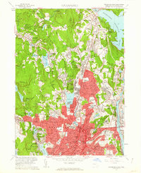
1960 Map of Worcester North
USGS Topo · Published 1962About this map
The northern half of Worcester is shown in high detail at the start of the 1960s, a period marked by dense urban residential growth and institutional expansion. The map records a concentration of major healthcare and social facilities, including the State Hospital, Belmont Hospital, and County Sanatorium, alongside educational centers like Clark University and State Teachers College. To the north, the landscape transitions into the smaller mill-and-rail settlements of Holden and West Boylston. Evidence of the area's older industrial and social fabric is found in labels for Canada Mills, the Rural Cemetery, and the Coal Mine Cem. The geography is defined by the extensive waters of the Wachusett Reservoir in the northeast and Indian Lake near the city center, while the Boston and Maine Railroad and New York New Haven and Hartford Railroad facilitate the region's transport network.
Find a feature on this map
130 named features on this map. Tap any name to fly to it.
Don’t see what you’re looking for? This feature index may not catch every label — zoom into the map to look around manually.
Map Details
Editions of this 1960 Worcester North Map
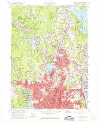
2 editions found
Other maps of this area

1885 · Worcester
USGS Topo · 1:62,500

1886 · Worcester
USGS Topo · 1:62,500

1886 · Blackstone
USGS Topo · 1:62,500

1887 · Marlboro
USGS Topo · 1:62,500

1889 · Marlboro
USGS Topo · 1:62,500

1889 · Blackstone
USGS Topo · 1:62,500

1889 · Webster
USGS Topo · 1:62,500

1892 · Webster
USGS Topo · 1:62,500

1892 · Worcester
USGS Topo · 1:62,500

1893 · Blackstone
USGS Topo · 1:62,500