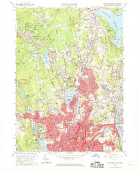
1960 Map of Worcester North
USGS Topo · Published 1969About this map
The urban core of Worcester dominates the southern half of this mid-century landscape, showing a dense grid of neighborhood schools and institutions during a period of significant post-war development. Educational landmarks like Clark University, State Teachers College, and Assumption College anchor the city's intellectual life, while the Worcester Municipal Airport and multiple rail lines, including the New York Central Railroad, indicate its role as a regional transportation hub.
Find a feature on this map
237 named features on this map. Tap any name to fly to it.
Don’t see what you’re looking for? This feature index may not catch every label — zoom into the map to look around manually.
Map Details
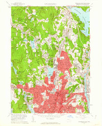
Editions of this 1960 Worcester North Map
2 editions found
Other maps of this area

1885 · Worcester
USGS Topo · 1:62,500

1886 · Worcester
USGS Topo · 1:62,500

1886 · Blackstone
USGS Topo · 1:62,500

1887 · Marlboro
USGS Topo · 1:62,500

1889 · Marlboro
USGS Topo · 1:62,500

1889 · Blackstone
USGS Topo · 1:62,500

1889 · Webster
USGS Topo · 1:62,500

1892 · Webster
USGS Topo · 1:62,500

1892 · Worcester
USGS Topo · 1:62,500

1893 · Blackstone
USGS Topo · 1:62,500