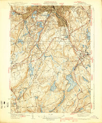
1939 Map of Worcester South
USGS Topo · Published 1939About this map
Holy Cross College stands at the northern edge of this landscape, overlooking the industrial and residential corridors south of Worcester as they appeared before the mid-century highway expansions. The geography is defined by a dense network of water bodies and early transportation routes, including the Boston and Albany railroad and the New York New Haven and Hartford line. In Auburn, the intersection of Stafford St and rail lines serves as a focal point for local development, while the surrounding area is dotted with numerous burial grounds like Hope Cemetery and the New Swedish Cem. The presence of the Worcester Sewage Disposal Plant and several reservoirs, such as Stoneville Reservoir and Clark Reservoir, highlights the infrastructure required to support the growing regional population. Smaller hamlets like Stoneville, Bramanville, and West Millbury retain their distinct footprints, connected by early thoroughfares like the Central Turnpike.
Find a feature on this map
93 named features on this map. Tap any name to fly to it.
Don’t see what you’re looking for? This feature index may not catch every label — zoom into the map to look around manually.
Map Details
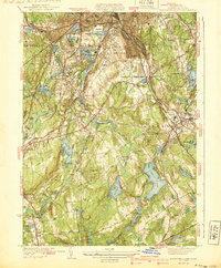
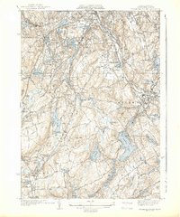
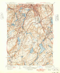
Editions of this 1939 Worcester South Map
4 editions found
Other maps of this area

1885 · Worcester
USGS Topo · 1:62,500

1886 · Worcester
USGS Topo · 1:62,500

1886 · Blackstone
USGS Topo · 1:62,500

1887 · Marlboro
USGS Topo · 1:62,500

1889 · Marlboro
USGS Topo · 1:62,500

1889 · Blackstone
USGS Topo · 1:62,500

1889 · Webster
USGS Topo · 1:62,500

1892 · Webster
USGS Topo · 1:62,500

1892 · Worcester
USGS Topo · 1:62,500

1893 · Blackstone
USGS Topo · 1:62,500