
Loading...
Loading map...1892 Map of Worcester
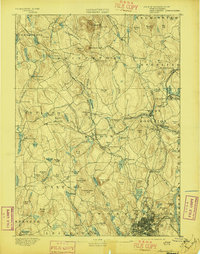
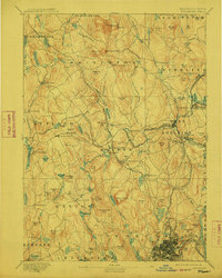
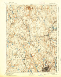
USGS Topo · Published 1892This historical map portrays the area of Worcester in 1892, primarily covering Worcester. Featuring a scale of 1:62500, this map provides a highly detailed snapshot of the terrain, roads, buildings, counties, and historical landmarks in the Worcester region at the time. Published in 1892, it is one of 10 known editions of this map due to revisions or reprints.
Map Details
Date Portrayed1892
Date Published1892
PublisherU.S. Geological Survey
Map TypeTopographic
Scale1:62500
Physical Dimensions15.8 x 19.6 inches
Editions of this 1892 Worcester Map
10 editions found
1892 edition
15.8 x 19.6 inches
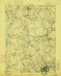
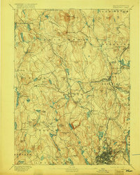
1897 edition
15.8 x 20.1 inches
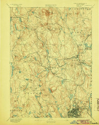
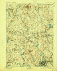
1899 edition
15.8 x 19.7 inches
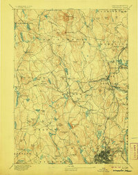
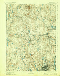
1904 edition
15.8 x 19.8 inches
1906 edition
15.8 x 19.8 inches
1912 edition
15.8 x 19.7 inches
1917 edition
15.7 x 19.7 inches
1924 edition
15.8 x 19.8 inches
1932 edition
15.8 x 19.8 inches
1939 edition
15.8 x 19.9 inches
Historical Maps of Shrewsbury Through Time
4 maps found


Featured Locations
Source Details
SourceU.S. Geological Survey
CopyrightPublic Domain