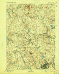
1892 Map of Worcester
USGS Topo · Published 1924About this map
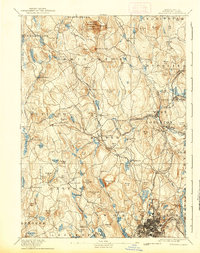
Wachusett Mountain State Reservation anchors the northern high ground of this landscape, which transitioned from agrarian settlements to a complex network of reservoirs and rail lines by the late 19th century. The urban core of Worcester appears in the southeast, featuring the prominent State Lunatic Hospital and early neighborhoods like Northville and Tatnuck. This survey captures the region just as the Wachusett Reservoir began to reshape the valley, documenting villages such as West Boylston and Oakdale before significant hydrological changes altered the local geography. A dense web of industrial-era transportation, including the Fitchburg & Worcester Division of N.Y. N.H. & H. R.R. and the Massachusetts Central Railroad, connects manufacturing centers like Wire Village and Jeffersonville. Numerous family-named summits such as Asnebumskit Hill and Justice Hill define the rugged topography between the emerging reservoirs and the growing city.
Find a feature on this map
136 named features on this map. Tap any name to fly to it.
Don’t see what you’re looking for? This feature index may not catch every label — zoom into the map to look around manually.
Map Details
Editions of this 1892 Worcester Map
10 editions found

1892 edition
15.8 x 19.6 inches
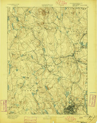
1897 edition
15.8 x 20.1 inches
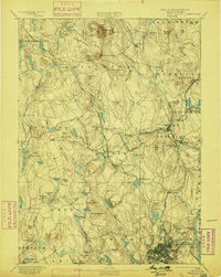
1899 edition
15.8 x 19.7 inches
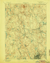
1904 edition
15.8 x 19.8 inches
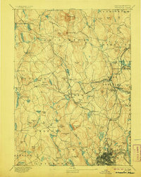
1906 edition
15.8 x 19.8 inches
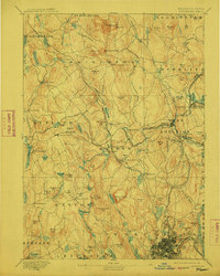
1912 edition
15.8 x 19.7 inches
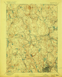
1917 edition
15.7 x 19.7 inches
1924 edition
15.8 x 19.8 inches
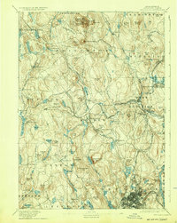
1932 edition
15.8 x 19.8 inches
1939 edition
15.8 x 19.9 inches
Other maps of this area

1885 · Worcester
USGS Topo · 1:62,500

1886 · Worcester
USGS Topo · 1:62,500

1886 · Blackstone
USGS Topo · 1:62,500

1887 · Brookfield
USGS Topo · 1:62,500

1887 · Winchendon
USGS Topo · 1:62,500

1887 · Marlboro
USGS Topo · 1:62,500

1887 · Barre
USGS Topo · 1:62,500

1887 · Fitchburg
USGS Topo · 1:62,500

1889 · Marlboro
USGS Topo · 1:62,500

1889 · Blackstone
USGS Topo · 1:62,500