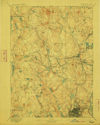
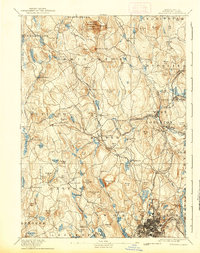
1892 Map of Worcester
USGS Topo · Published 1912About this map
Wachusett Mt and Little Wachusett anchor the north of this Central Massachusetts landscape, where a dense network of nineteenth-century railroads converges on the industrial heart of Worcester. The city's northern edge is shown in significant detail, including the State Lunatic Hospital and the neighborhoods of Northville and Lake View near Lake Quinsigamond.
Find a feature on this map
141 named features on this map. Tap any name to fly to it.
Don’t see what you’re looking for? This feature index may not catch every label — zoom into the map to look around manually.
Map Details
Editions of this 1892 Worcester Map
10 editions found

1892 edition
15.8 x 19.6 inches
1897 edition
15.8 x 20.1 inches
1899 edition
15.8 x 19.7 inches
1904 edition
15.8 x 19.8 inches
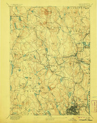
1906 edition
15.8 x 19.8 inches
1912 edition
15.8 x 19.7 inches
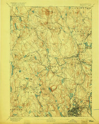
1917 edition
15.7 x 19.7 inches
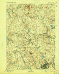
1924 edition
15.8 x 19.8 inches
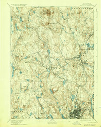
1932 edition
15.8 x 19.8 inches
1939 edition
15.8 x 19.9 inches
Other maps of this area

1885 · Worcester
USGS Topo · 1:62,500

1886 · Worcester
USGS Topo · 1:62,500

1886 · Blackstone
USGS Topo · 1:62,500

1887 · Brookfield
USGS Topo · 1:62,500

1887 · Winchendon
USGS Topo · 1:62,500

1887 · Marlboro
USGS Topo · 1:62,500

1887 · Barre
USGS Topo · 1:62,500

1887 · Fitchburg
USGS Topo · 1:62,500

1889 · Marlboro
USGS Topo · 1:62,500

1889 · Blackstone
USGS Topo · 1:62,500