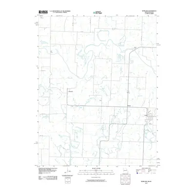
2009 Map of Worland
USGS Topo · Published 2009About this map
Worland and Foster anchor this rural landscape along the Missouri-Kansas border, where the Marais des Cygnes River winds through the northern reaches. The area is defined by a dense network of tributaries including Mulberry Creek, Pecan Creek, and Mine Creek, suggesting a terrain historically shaped by seasonal drainage and riparian corridors. This 2009 survey highlights the geographic transition between the two states, marked formally by the State Line Rd and the State Line Bridge.
Find a feature on this map
34 named features on this map. Tap any name to fly to it.
Don’t see what you’re looking for? This feature index may not catch every label — zoom into the map to look around manually.
Map Details
Editions of this 2009 Worland Map
This is the sole edition of this map. No revisions or reprints were ever made.
Other maps of this area

1887 · Butler
USGS Topo · 1:125,000

1887 · Mound City
USGS Topo · 1:125,000

1893 · Mound City
USGS Topo · 1:125,000

1894 · Butler
USGS Topo · 1:125,000

1937 · New Home
USGS Topo · 1:24,000

1938 · Worland
USGS Topo · 1:24,000

1940 · Worland
USGS Topo · 1:24,000

1940 · Hume
USGS Topo · 1:24,000

1942 · Hume
USGS Topo · 1:24,000
1942 · Sprague
USGS Topo · 1:24,000