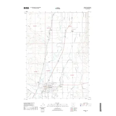
2018 Map of Worland
USGS Topo · Published 2018About this map
Worland stands as the primary hub of this high-plains landscape, situated along the eastern banks of the Bighorn River. The settlement pattern reflects a deeply engineered agricultural environment, where an intricate network of irrigation systems—including the Big Horn Canal, Lower Hanover Canal, and Highland Hanover Canal—transforms the arid Basin terrain into productive land. The BNSF Railway parallels the river, anchoring the town’s industrial and transport identity. Local landmarks such as Saint Alban's Episcopal Church Columbarium and Riverview Memorial Gardens provide specific points of interest for genealogists. Beyond the urban grid, the map details the rugged drainage systems of Fifteenmile Creek and Crooked Draw, illustrating the stark contrast between the irrigated valley floor and the surrounding desert plateaus.
Find a feature on this map
94 named features on this map. Tap any name to fly to it.
Don’t see what you’re looking for? This feature index may not catch every label — zoom into the map to look around manually.
Map Details
Editions of this 2018 Worland Map
This is the sole edition of this map. No revisions or reprints were ever made.
Other maps of this area

1945 · Kirby
USGS Topo · 1:62,500

1946 · Kirby
USGS Topo · 1:62,500

1951 · Schuster Flats NE
USGS Topo · 1:24,000

1951 · Schuster Flats SE
USGS Topo · 1:24,000

1955 · Cody
USGS Topo · 1:250,000

1955 · Thermopolis
USGS Topo · 1:250,000

1955 · Sheridan
USGS Topo · 1:250,000

1955 · Arminto
USGS Topo · 1:250,000

1958 · Cody
USGS Topo · 1:250,000

1958 · Thermopolis
USGS Topo · 1:250,000