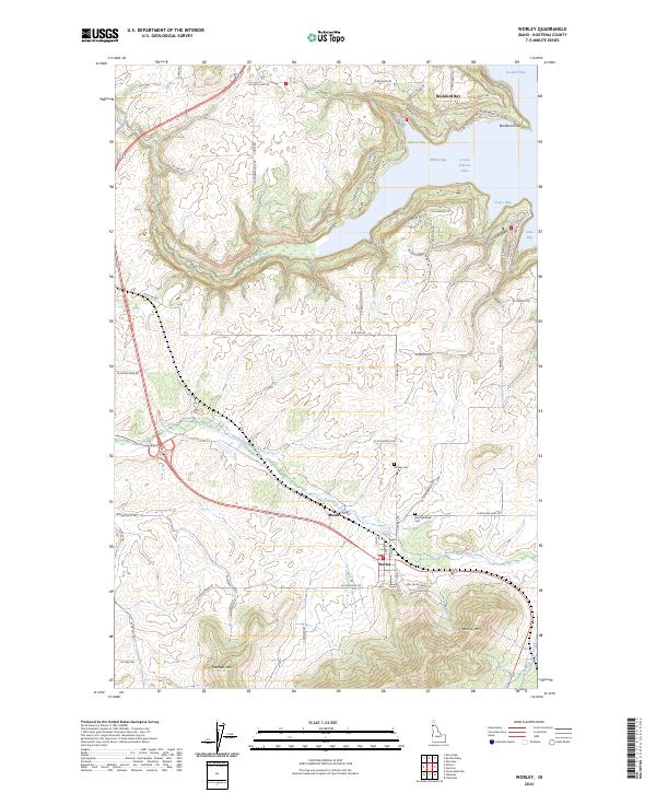
2024 Map of Worley
USGS Topo · Published 2024About this map
Worley serves as a central hub on this Kootenai County landscape, positioned where the hills rise toward Worley Mtn and Warners Mtn. The settlement pattern reflects a mix of inland farming and high-elevation topography, while the northern edge of the sheet is defined by the deep indentations of Coeur d'Alene Lake. This shoreline is marked by prominent features like Rockford Point and a series of protected inlets including Sun Up Bay, Windy Bay, and Cave Bay.
Find a feature on this map
66 named features on this map. Tap any name to fly to it.
Don’t see what you’re looking for? This feature index may not catch every label — zoom into the map to look around manually.
Map Details
Editions of this 2024 Worley Map
This is the sole edition of this map. No revisions or reprints were ever made.
Other maps of this area

1901 · Spokane
USGS Topo · 1:125,000

1903 · Oakesdale
USGS Topo · 1:125,000

1903 · Rathdrum
USGS Topo · 1:125,000

1905 · Oakesdale
USGS Topo · 1:125,000

1949 · Greenacres
USGS Topo · 1:62,500

1951 · Greenacres
USGS Topo · 1:62,500

1954 · Fairfield
USGS Topo · 1:62,500

1955 · Spokane
USGS Topo · 1:250,000

1957 · Plummer
USGS Topo · 1:62,500

1957 · Coeur D'Alene
USGS Topo · 1:62,500