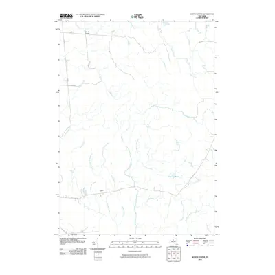
2010 Map of Worth Center
USGS Topo · Published 2010About this map
Worth Center marks the primary human footprint in this northern New York landscape, situated at the junction of several rural routes including Co RD 93 and O Connor RD. The area is defined by a dense network of tributaries and streams, with the Mad River serving as a central drainage artery, joined by Abijah Creek, Pigeon Creek, and Big Brook. The southern portion of the quadrangle transitions into more varied terrain near Castor Hill, where forestry and conservation interests are hinted at by names like Little John Dr and Logging Rd. Remote water bodies such as Alder Bed Pond and the headwaters of Mill Stream suggest a quiet, wooded character. This 2010 survey reflects a region where the natural hydrology and a few established county roads dictate the pattern of the landscape, long after the earliest settlers established the small crossroads at Worth Center.
Find a feature on this map
34 named features on this map. Tap any name to fly to it.
Don’t see what you’re looking for? This feature index may not catch every label — zoom into the map to look around manually.
Map Details
Editions of this 2010 Worth Center Map
This is the sole edition of this map. No revisions or reprints were ever made.
Other maps of this area

1895 · Watertown
USGS Topo · 1:62,500

1898 · Watertown
USGS Topo · 1:62,500

1902 · Carthage
USGS Topo · 1:62,500

1903 · Orwell
USGS Topo · 1:62,500

1904 · Carthage
USGS Topo · 1:62,500

1905 · Orwell
USGS Topo · 1:62,500

1906 · Highmarket
USGS Topo · 1:62,500

1908 · Watertown
USGS Topo · 1:62,500

1909 · Watertown
USGS Topo · 1:62,500

1942 · Redfield
USGS Topo · 1:24,000